Soil moisture data, delivered via API.
Access high-resolution soil moisture profiles globally without installing a single sensor. Purpose-built for Agritech platforms and Enterprise scouting.
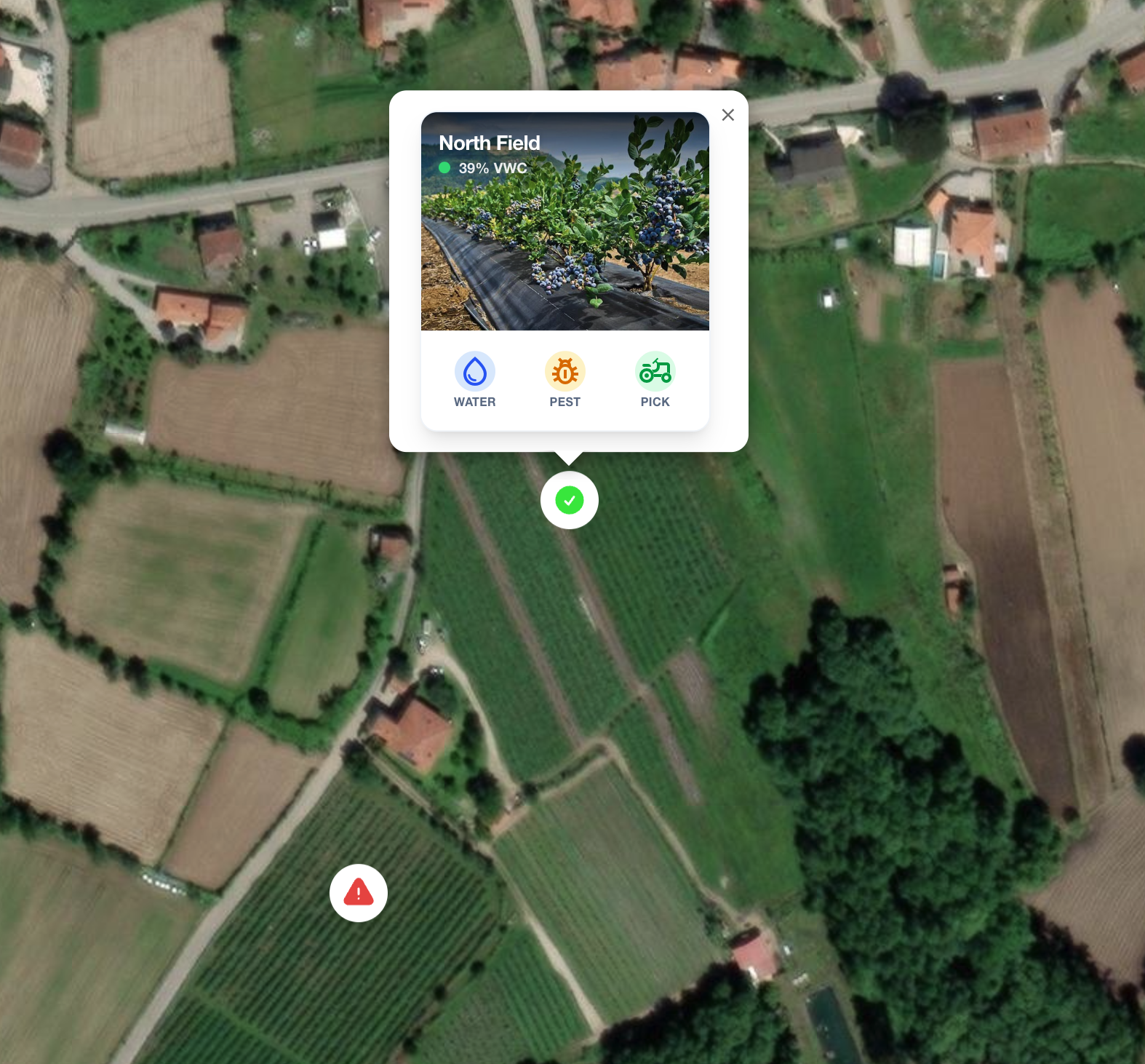
Access high-resolution soil moisture profiles globally without installing a single sensor. Purpose-built for Agritech platforms and Enterprise scouting.
Validation Precision
Spatial Resolution
Service Coverage
Inference Updates
We blend multi-constellation satellite data with rigorous fluid dynamics to deliver the unseen.
Ingesting Sentinel-1, Era5, and SMAP data automatically every 3-6 days.
Applying precise topography and local weather priors to calibrate the model.
Predicting profiles via AI models and fluid dynamics simulations.
Access clean, structured data via REST API or Enterprise Dashboard.
Watch a 3-minute walkthrough demonstrating how to integrate our soil intelligence API, make coordinate queries, and parse VWC data profiles.
Integrate soil intelligence into your existing platform in minutes. Our API returns ready-to-use JSON objects for any coordinate on Earth.
Pure satellite data is not enough. We add the physics layer for the accuracy enterprises require.
| Feature | Pure Remote Sensing | FarmLab (AI + Physics) |
|---|---|---|
| Accuracy Range | 30% - 60% | 60% - 92% |
| Depth Profile | Surface Only (0-5cm) | Root Zone (0-100cm) |
| Cloud Impact | Blocks Optical | Radar + Physics Interpolation |
| Implementation | Low Precision | Enterprise Grade API |
We use a combination of microwave radar backscatter (which is sensitive to moisture), soil characteristic grids, and physical water-flow simulations to calculate the moisture profile of the soil remotely.
Our API is self-service for authenticated users. Most teams can achieve their first integration within a single working day using our documentation and SDKs.
While our engineering hub is in Portugal, our processing engine uses global satellite constellations, enabling us to provide soil moisture profiles for almost any landmass on Earth.
Schedule a technical dive with our engineering team to see how FarmLab.ai can power your platform.